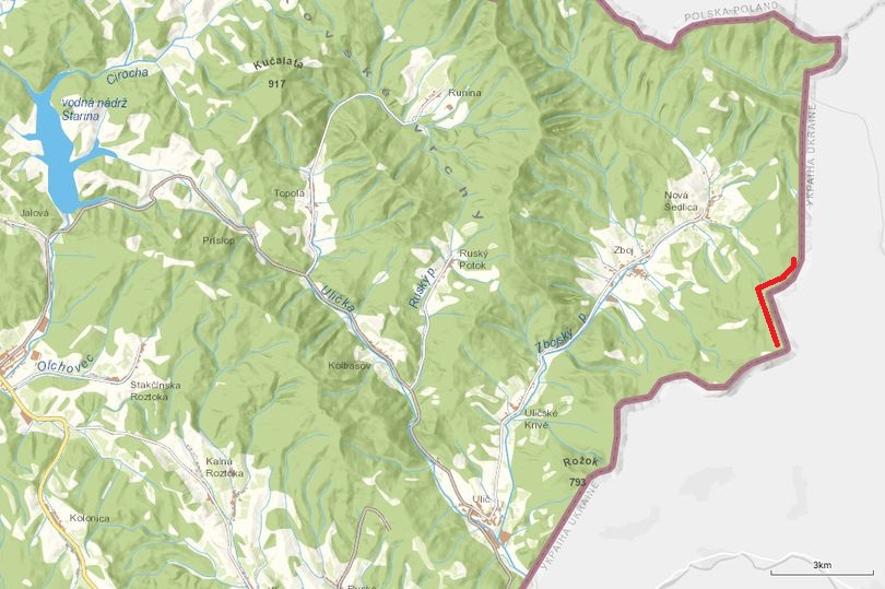
East of Zboj, going up a steep hill to 1080 meters.

|
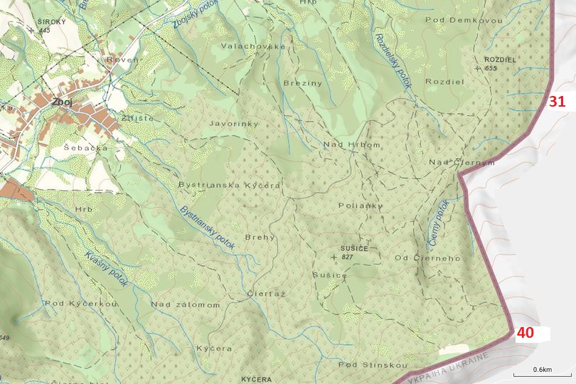
Map 31-40 East of Zboj
|
|
|
Border marker 31 Again crossing some smaller creeks.
|
|
|
Border marker 32
|
|
|
Border marker 33 Quite hard to recognoze the border line here.
|
|
|
Border marker 34 Green and open. Here the border makes a 90 degrees angle.
|
|
|
Border marker 35 We have to cross the creek and stay on the right side of the border. No road or path here.
|
|
|
Border marker 36 A last small creek before a long ascend to 1080 meters.
|
|
|
Border marker 37 It goes up.
|
|
|
Border marker 38 I think we are almost at 1000 meters here. It's much colder, the trees are still brown, almost no vegetation. Picture is taken in the opposite direction.
|
|
|
Border marker 39 Almost there. Very challenging. Second picture is taken in the opposite direction. Now you see the altitude...
|
|
|
Border marker 40 There we are. From here on the border follows closely (but not exact) the line of the highest point of the mountain.
|
| 1-10 | 11-20 | 21-30 | 31-40 | 41-50 | 51-60 | 61-70 | 71-80 | 81-90 | 91-100 | 101-200 | 201-300 | 301-375 | HU-UA | RO-UA |
